
WES Portal - WES
Maritime & Border Security
Some of the key features include:
Data Integration and Management
Modeling and Simulation
Predictive Analytics & Machine Learning
Scenario Planning
Data Visualization and Reporting
Sea Level Rise Modelling
Inland Flood Modelling and Response
For inland flood mapping, WES supports the integration of data from various sources to model water flow. Inland flood mapping utilizes shallow water equations; a set of hyperbolic partial differential equations used in fluid dynamics to model the flow of water from a lake or other inland source, enabling accurate flood prediction and management efforts.
Fire Prediction and Management
Arctic Ice Concentrations
Compusult's Web Enterprise Suite (WES) can provide an integrated geospatial intelligence, surveillance, situational awareness, and operational command platform to support maritime security, border protection, coastal surveillance, and national security operations.
By integrating information from surveillance systems, sensors, geospatial databases, intelligence sources, and personnel in the field, WES can help security organizations detect, monitor, analyze, and respond to potential threats across maritime and land borders.
WES is particularly applicable to coast guards, border security agencies, naval forces, defence organizations, port authorities, and national security agencies.
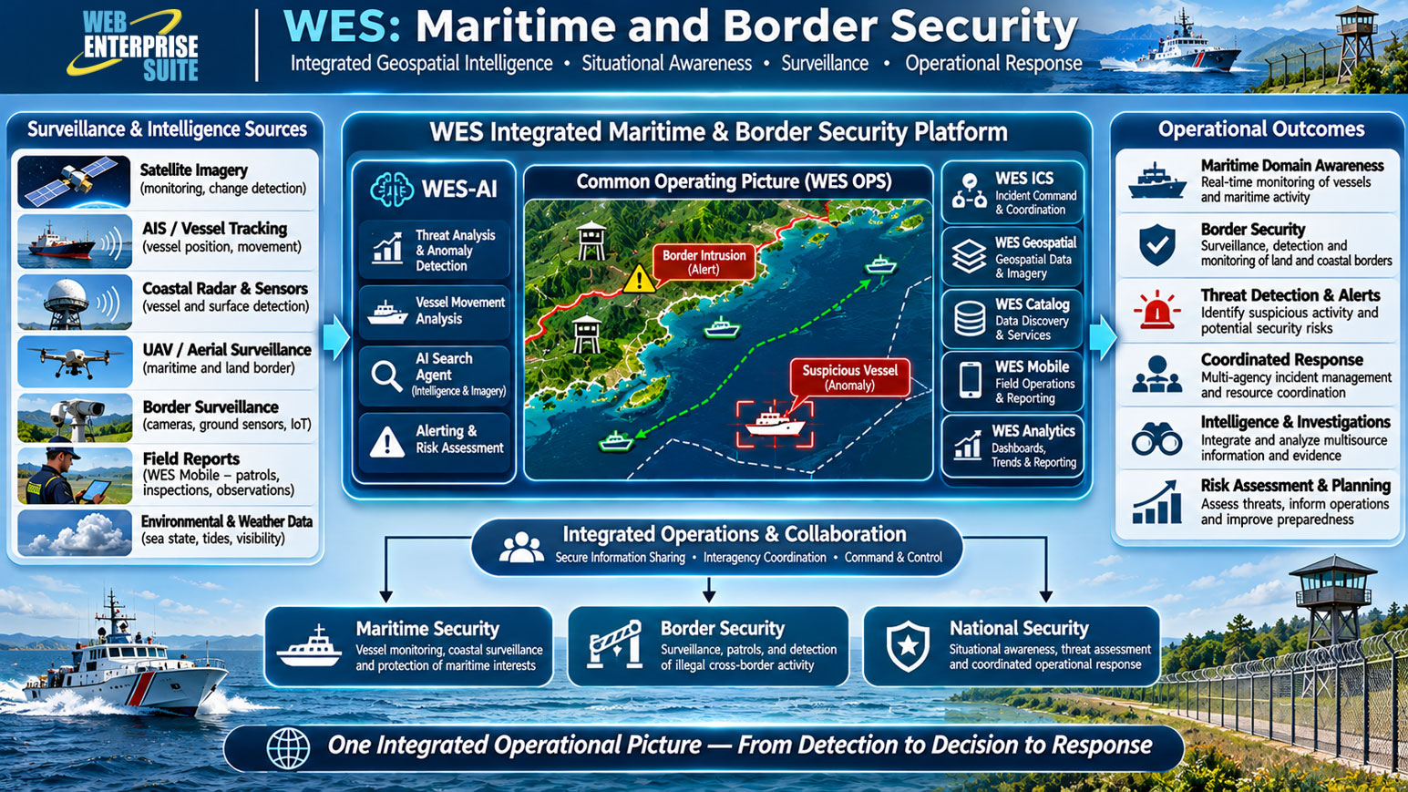
Key WES capabilities for maritime and border security
1. Maritime Domain Awareness (MDA)
- WES OPS can provide a Common Operating Picture (COP) displaying vessel locations, maritime activity, coastal infrastructure, surveillance observations, and areas of interest. With appropriate integrations, it can consolidate AIS, radar, satellite imagery, and other maritime intelligence sources.
2. Border Surveillance and Monitoring
- WES can integrate geospatial information, surveillance feeds, sensor observations, and patrol reports to support monitoring of remote borders, ports of entry, and coastal approaches. Configured geofencing and alerting workflows can help identify activity in restricted or sensitive areas.
3. Geospatial Intelligence and Data Fusion
- WES Geospatial, WES Catalog, and Meta Manager can organize, discover, manage, and distribute satellite imagery, terrain data, nautical and coastal datasets, and intelligence products. This allows analysts to access relevant information from multiple sources within a common environment.
4. Mobile Patrol and Field Operations
- WES Mobile supports personnel operating aboard vessels, at border checkpoints, and in remote coastal regions. Field personnel can capture georeferenced photographs, videos, observations, and incident information and transmit them to operations centers.
5. AI-Enabled Threat Analysis
- WES-AI provides a framework for integrating machine learning, predictive analytics, AI search, and alerting. When configured with appropriate data and models, it could support anomaly detection, vessel movement analysis, suspicious activity identification, and risk assessment.
6. Incident Management and Coordinated Response
- WES ICS and WES Emergency Management can help agencies manage incidents, coordinate personnel and resources, maintain operational communications, and share a common situational picture during security events.
Other Industries
WES Operations Centre
WES Geospatial
Enterprise data warehouse for storing, managing, and delivering geospatial, imagery, and business data at scale.
WES Analytics
WES AI
WES Administration
Emergency Management & Incident Command
Aerospace & Defence
Geospatial intelligence, mission awareness and defence operations.
Environmental Monitoring & Mitigation
Maritime & Border Security
Transportation & Infrastructure
The AI modules/window components may be included within custom workflows and has been organized in the following broad categories:
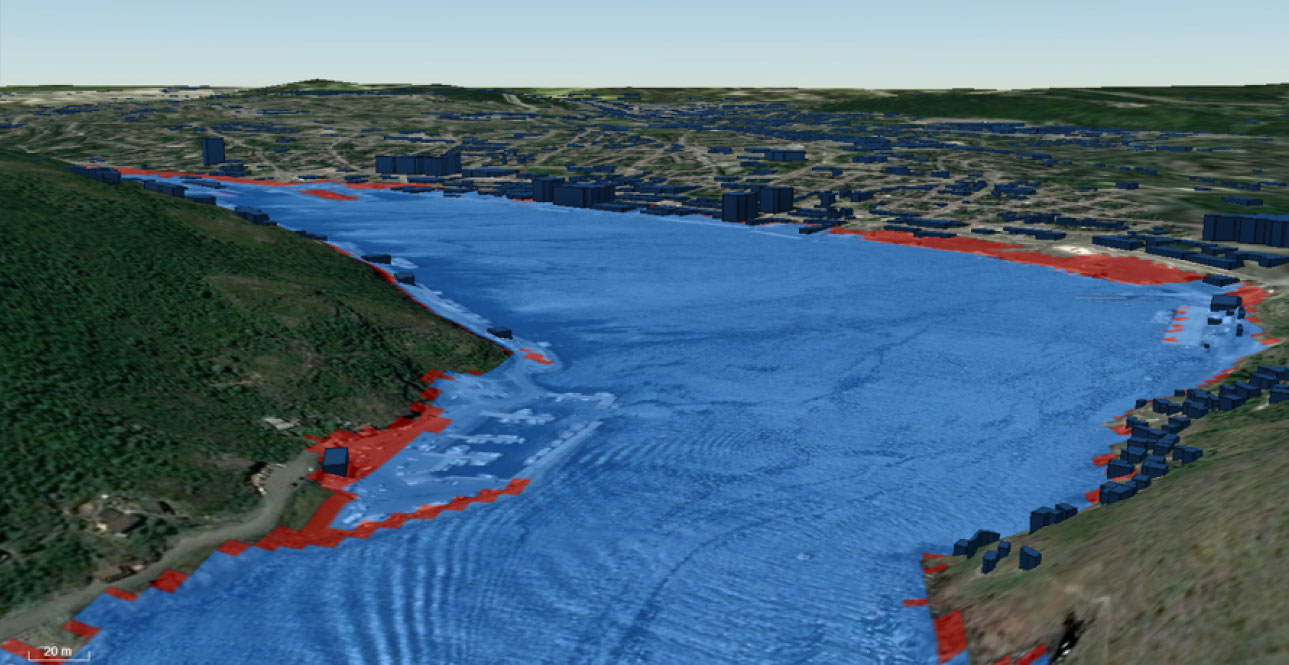
Modelling and Predictive System (MPS)
The evidence supporting climate change and the related effects due to human activities is now overwhelming and compelling.
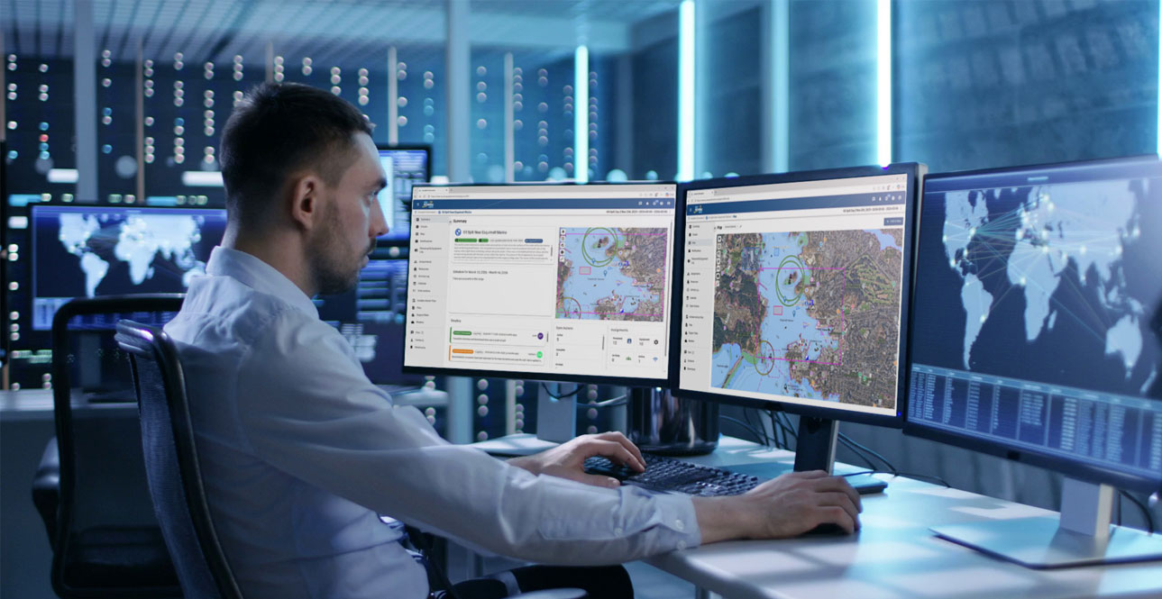
AI Alerting
An AI application make decisions on behalf of and in support of users and the associated stakeholders.
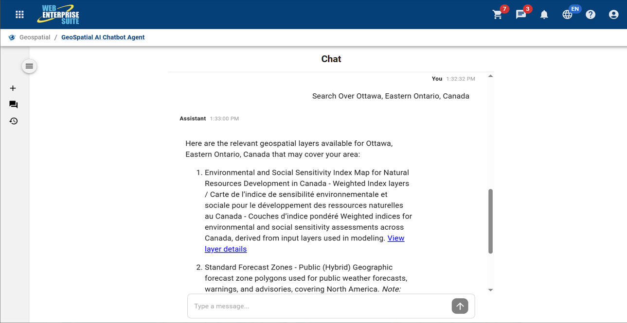
Geospatial AI Chatbot
A microservices-based generative AI chatbot prototype with natural language processing capabilities to handle discovery of relevant information and content on behalf of a user.
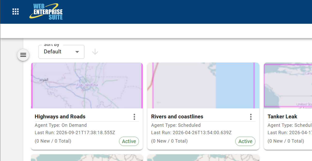
AI Search Agent
A powerful tool that enables the system to do the work on behalf of a user.
Request a Live Demo
Access our demo site to use a sandbox version of WES.


