
WES Portal - WES
Emergency Management & Incident Command
Compusult's Web Enterprise Suite (WES) provides an integrated geospatial, emergency management, and incident command platform that enables organizations to prepare for, monitor, manage, and respond to emergencies and major incidents.
By combining WES Emergency Management, WES Incident Command System (ICS), WES Operations Centre (WES OPS), WES Mobile, WES Geospatial, and WES-AI, organizations can establish a centralized operational environment for situational awareness, incident coordination, resource management, and decision-making.
WES can support emergency management organizations, fire and rescue services, police, coast guards, military operations, public safety agencies, and government emergency operations centers.
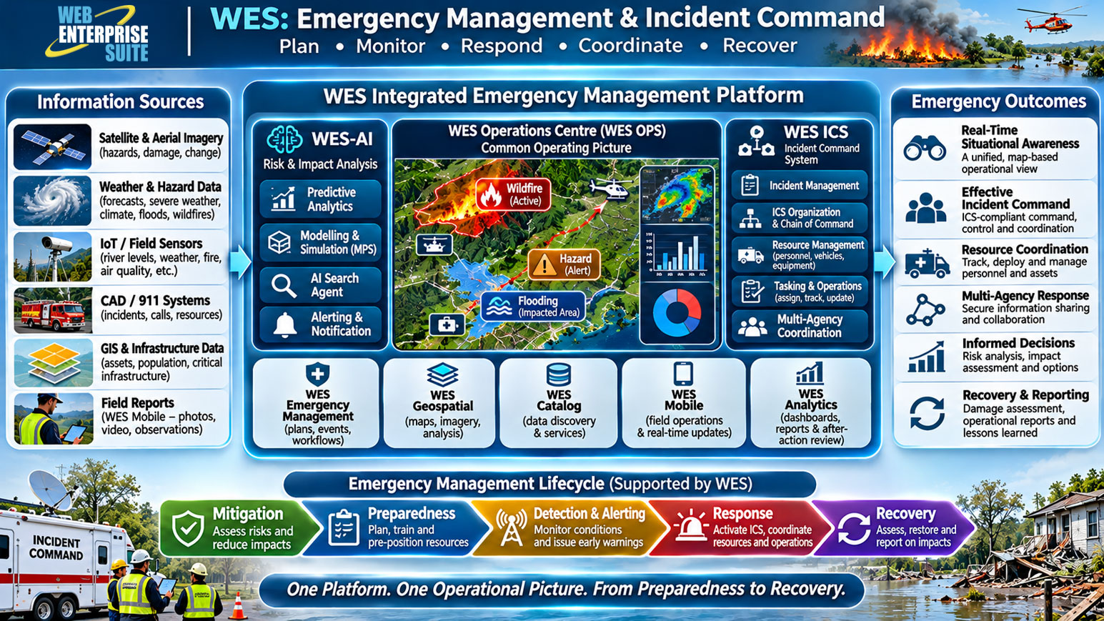
Key WES capabilities for emergency management and incident command
1. Common Operating Picture and Situational Awareness
- WES OPS provides a centralized, map-based Common Operating Picture (COP) that integrates incident locations, emergency resources, personnel, infrastructure, hazards, and geospatial information.
- Applications: Emergency operations centers, wildfire monitoring, flood response, major incidents, and multi-agency coordination.
2. Incident Command System (WES ICS)
- WES ICS provides a configurable incident command environment that supports organizational structures, chains of command, operational responsibilities, resource coordination, and information sharing.
- It can be configured to reflect an agency's incident command requirements and operational workflows.
- Applications: Incident command organization, operational coordination, incident tracking, assignments, and multi-agency response.
3. Emergency Resource and Personnel Management
- WES can support the tracking and coordination of emergency response resources, including personnel, vehicles, equipment, facilities, and deployed response teams.
- Applications: Resource allocation, deployment monitoring, operational assignments, response team coordination, and logistics support.
4. Mobile Field Operations and Real-Time Reporting
- WES Mobile enables first responders and field personnel to access operational information and submit georeferenced observations, photographs, videos, incident updates, and field assessments.
- Applications: Damage assessments, search and rescue, field inspections, emergency response updates, and personnel tracking.
5. AI-Enabled Risk Assessment and Predictive Analytics
- WES-AI and the Modelling & Predictive System (MPS) provide a framework for integrating predictive models, machine learning, scenario planning, and geospatial analytics.
- Applications: Flood prediction, wildfire risk assessment, impact modelling, hazard analysis, and what-if scenario planning.
6. Multi-Agency Coordination and Information Sharing
- WES supports collaboration among emergency management agencies, first responders, government departments, and partner organizations through secure information sharing and configurable workflows.
- Applications: Joint emergency operations, coordinated response planning, interagency collaboration, and common situational awareness.
7. Operational Analytics, Reporting and After-Action Review
- WES Analytics provides configurable dashboards, reports, charts, and statistical summaries to support incident monitoring and operational performance analysis.
- Applications: Incident statistics, response performance, operational summaries, resource utilization, and after-action reporting.
8. WES emergency management and incident command architecture
- The following illustrates how WES components can work together to support an integrated emergency management and incident command environment.
Emergency Management & Incident Command
Aerospace & Defence
Geospatial intelligence, mission awareness and defence operations.
Environmental Monitoring & Mitigation
Maritime & Border Security
Transportation & Infrastructure
The AI modules/window components may be included within custom workflows and has been organized in the following broad categories:
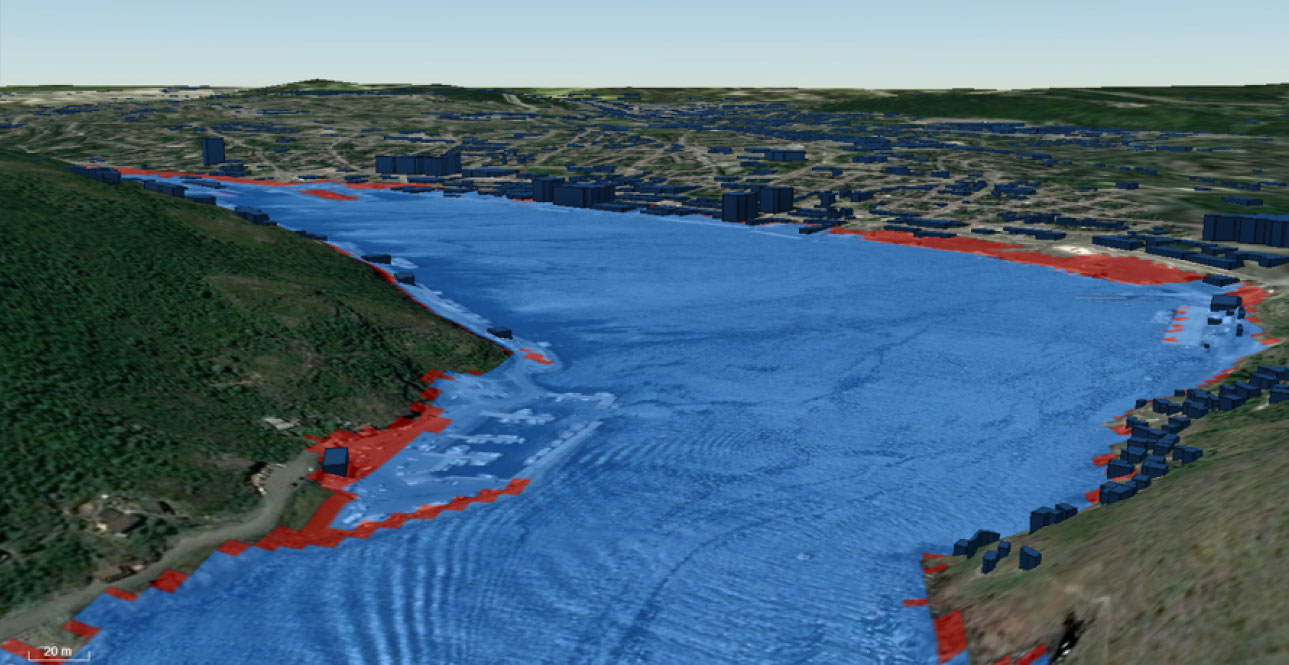
Modelling and Predictive System (MPS)
The evidence supporting climate change and the related effects due to human activities is now overwhelming and compelling.
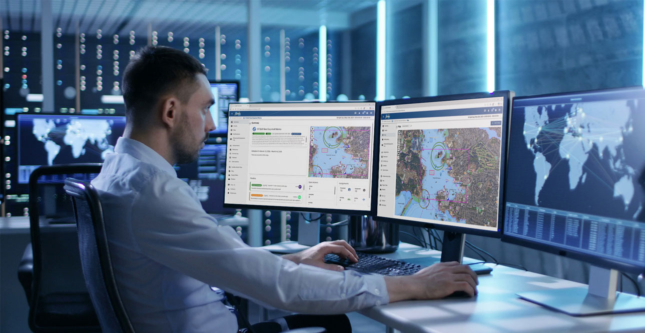
AI Alerting
An AI application make decisions on behalf of and in support of users and the associated stakeholders.
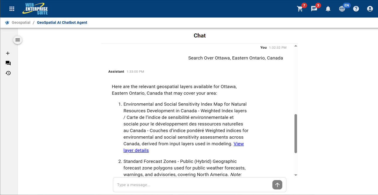
Geospatial AI Chatbot
A microservices-based generative AI chatbot prototype with natural language processing capabilities to handle discovery of relevant information and content on behalf of a user.
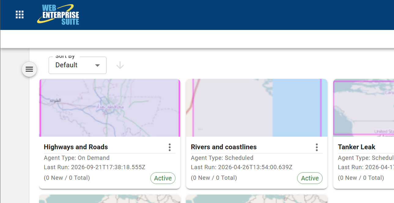
AI Search Agent
A powerful tool that enables the system to do the work on behalf of a user.
Request a Live Demo
Access our demo site to use a sandbox version of WES.


