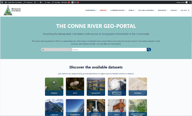
Often customers require a portal environment to facilitate providing information to their users that go beyond managing more than just the geospatial management. This component contains the interfaces that enable WES to be connected to an overall website management system. Users can choose from one of the following open-source portal environments to be included with WES. These are:
WordPress – Most popular website development and content management portal providing features such traditional websites, mailing lists, Internet forums, media galleries, membership sites, learning management systems, online stores, etc.
Drupal – Another widely used open-source portal environment that provides the ability associated with build more complex, secure, and scalable websites.
Office 365/SharePoint/Azure – In cases where a customer requires integration with Microsoft Teams video conferencing, SharePoint integration etc.
Liferay – An open-source software solution like WordPress and Drupal that boasts a communication platform for the user audiences.
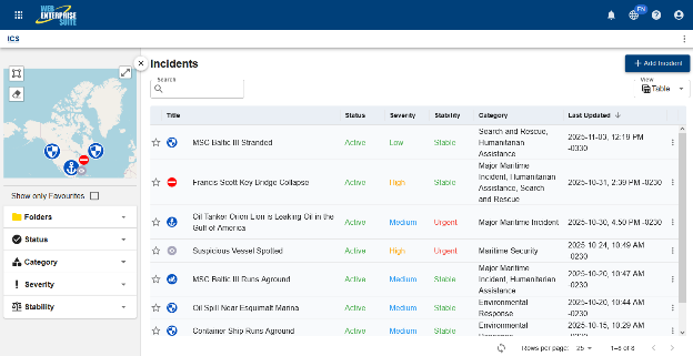
WES Incident Command System
Contains an implementation of the standardized ICS utilized within many emergency management organizations to enable effective, efficient incident management. It also provides an agency/organization with the ability to incorporate unique functions and data capture in completing domain awareness and emergency response.
WES Mobile – An iOS, Android and Windows-based mobile application that to provide first responders, surveyors, and in-field data collectors with the ability to collect, consume, and share information in connected or disconnected environments.
WES Public Observations – A simple interface to log and report on observations from the public or from users in the field. A highly configurable and simple to use app is also provided for iOS, Android and Windows platforms that feeds information and content directly into the system.
WES Mobile
This is an example of quick text to fill the body of the card with some content in order to present it properly in page. We hope you like it.
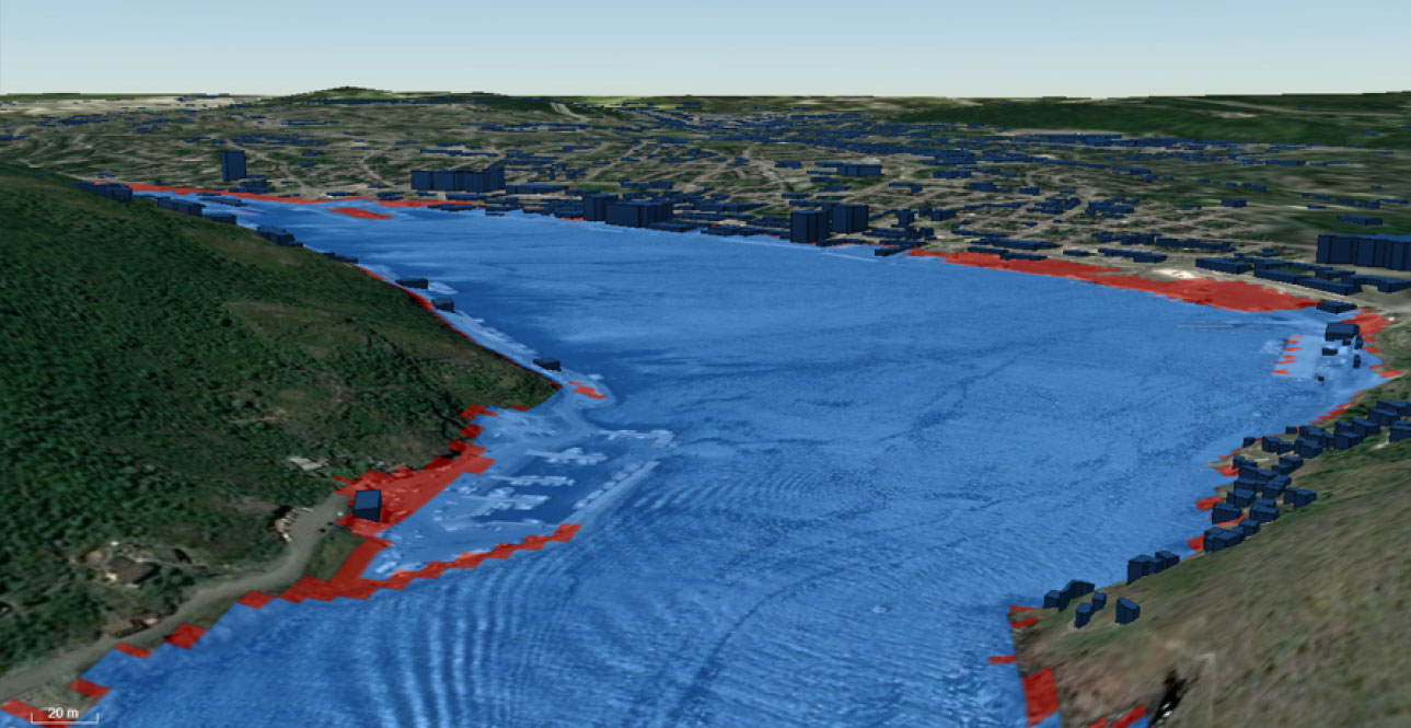
A web mapping application that spatially fuses information and content, and provides a Common Operational Picture and visualization platform from disparate data sources and applications for situational awareness. Content maybe viewed in 2D or 3D.
WES SensorHub – This subsystem uses open standards to easily connect various sensors and devices, such as cameras, body worn sensors (ECG, EKG, EMG, etc.) and platforms such as weather stations and drone imagery, to a networked environment to enhance situational awareness and the overall decision-making process. This component has also been utilized for real-time data collects to our UxS related projects and activities.
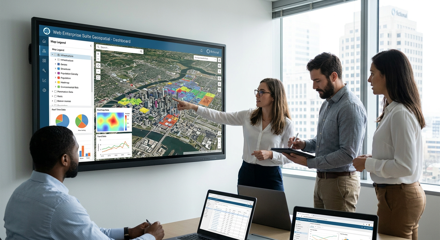
WES Geospatial – The data warehouse component of WES that acts as a library for the storage of geospatial/non-geospatial imagery, data and data products. This sub-system is being used by some of the largest image archives in the world and supports the "big data" concepts. Provides a metadata capability that maintains transactions such as users, orders, and data/metadata ingestion.
Meta Manager – Provides metadata management for both structured and unstructured data. It supports revealing metadata contained within relational database management systems by mapping metadata attributes to a metadata standard. For unstructured data, Meta Manager will crawl directory systems, detect files (all files supported), and automatically extract the metadata for search and discovery. The ability to manually enter metadata that is consistent across all collections is also provided.
WES Catalog – A sophisticated and easy to use publishing, search and browsing interface that provides organizations with the ability to manage and maximize usages of their Web services that are available throughout the enterprise.
WES Sensorhub
This is an example of quick text to fill the body of the card with some content in order to present it properly in page. We hope you like it.