
WES Situational Awareness - WES

WES Situational Awareness
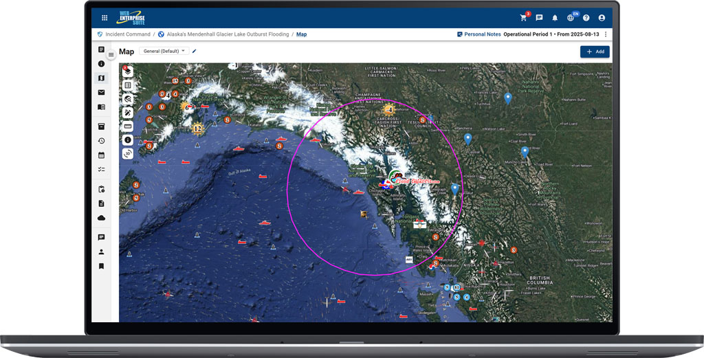
A web mapping application that spatially fuses information, makes maps, discovers information and content, and provides a COP and visualization from disparate data sources and applications.
Transforming Data
Into Operational Insight
WES-SA is tightly integrated into the WES infrastructure and components support OGC/industry specifications and standards for the display and visualization of information and content, and may be deployed using a variety of techniques in the web environment.
It also supports direct integration with ArcGIS databases and other commonly used web mapping interfaces available via commercial and open-source interfaces.
Contains a feature/sensor tracking service for display of movement of real-time objects and sensor locations, including tracks (e.g., aircraft, ships and vehicles). Dynamic web mapping updates occur and can be displayed on multiple monitors or windows.
Enhancing
Situational Awareness
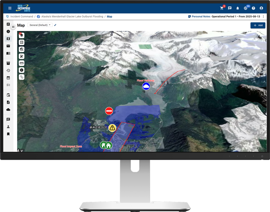
WES-SA allows you to control, organize, and edit the data associated with the layers that are displayed on the map, as well as save and import basemaps and other layers. Users can view and edit layer transparency to allow for comparisons over an area of interest.
This web map client provides users with the ability to visualize or interact with data that was identified and/or imported, even portraying data from different providers and locations.
WES-SA also provides situational views in 3D in order to enhance perception, comprehension, and decision-making regarding a complex environment in real-time.
Visualize & Analyze Data
Manage Map Layers
Track Assets in Real Time
2D & 3D Views




Request a Live Demo
Access our demo site to use a sandbox version of WES.


