
WES Feature and Benefits - WES
WES - Features
WES is a Standards-based, Commercial Off-The-Shelf (SCOTS) software package that provides organizations and agencies with the ability to build a comprehensive spatial data infrastructure that extends from the desktop, mobile computing and sensor/IoT platforms to the server/network/cloud environments. Features include the ability to:

Search, manage and discover geospatial data
Disparate sources can be discovered and searched, including web services, EO data, real-time sensor and IoT data, geospatial data, mobile and field data documents and/or other systems and data catalogues.
Access, preview and combine distributed data
A means of accessing any data, data product, service and associated information via Web browsers, mobile phones, ArcGIS Desktop apps and systems interfaces.
Catalog, harvest, and manage metadata
Collect metadata information and content from systems, users, file systems and devices.
Manage both internal and external data
Administer access to content stored within the WES platform and provide regulated secure access to supporting content from external systems.
Access and display real-time data from sensors
Understand your environment and environments you manage using data from IoT devices, cameras/video feeds, satellite imagery and much more.
Publish location-based data and systems
Make your data and information accessible to others in support of situational awareness using standards-based interfaces.
Integrate and maximize mobile devices and field operations
Reach out to field users, providing them with the vital information they need to manage situations and collect field information for decision making.
Host and access a variety of data types
WES is data agnostic, providing maximum interoperability with your information and content.
Connect to enterprise data management systems and portals
Combine others information and content into you geospatial platform using WES.
WES - Benefits
The main benefits of WES are:

Productivity
Enhance your ability to utilize information to support your mission.
Improved Communications
Share your information and content at the right time, supporting real-time operations.
Cost Savings
Make better use of information and content faster and more efficiently.
Situational awareness
Designed to foster greater situational awareness.
Standards-based
OGC standards mean compliance and regulated approach.
Integrated
Products, services, and systems built to work together.
Interoperable
Allows multiple disparate geospatial systems to cooperate.
Collaborative
Built to let multiple parties work together.
Scale
Operates effectively for small and large enterprises.
WES Companion Products
The items below can be purchased together or separately from Web Enterprise Suite.
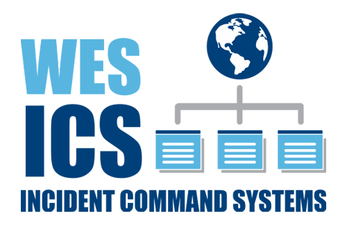
WES ICS
An implementation of standardized Incident Command Systems, utilized within many emergency management organizations to enable effective, efficient incident management. It provides the ability to integrate personnel, facilities, resources, communications, equipment and procedures in a common organizational structure.
Learn More
SensorHub
An OGC-compliant data acquisition system that provides the rapid integration of information from diverse sources such as cameras, and IoT sensors and devices. It is of particular value for first responders in emergency and disaster scenarios and for tasking sensors, creating alerts, and creating task chains.
Learn More
GO Mobile
An iOS, Android and Windows-based mobile application that uses OGC standards to provide first responders, surveyors, and in-field data collectors with the ability to collect, consume, and share information in connected or disconnected environments.
Learn More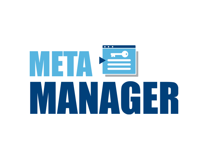
Meta Manager
An automated, easy-to-use publishing and discovery metadata management service for geospatial, structured and unstructured, data using OGC, ISO and other metadata standards. It allows users to create and search standardized metadata from database repositories or file-based data.
Learn MoreRequest a Live Demo
Access our demo site to use a sandbox version of WES.


