
Climate Change and Environmental Management - Web Enterprise Suite
Climate Change and Environmental Management
Using geospatial and other location-based information to better understand, plan and respond to situations and events.
Observations are Critical
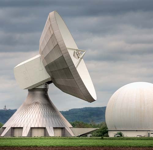
Earth Observation data management incorporates resource and environmental management, and encompasses acquiring geospatial information for understanding climate change, protecting ecosystems and agriculture, managing energy resources, and understanding environmental factors affecting human health. Each of these elements, and many more, are crucial to understand intoday's world, and geospatial information is a vital aspect.
Earth Observation satellite imagery is critical to scientists and organizations, and they require the ability to manage the data for efficient decision making. Web Enterprise Suite provides the necessary solution for effective data discovery, acquisition, and management of Earth Observation data. Please read more about WES and its abilities to help you.

The Environment is Important To Us
Geospatial data is used significantly to help us understand our surroundings and the changes in our world based on environmental impacts. By accessing location-based information and analyzing it, decision makers and strategists can develop intelligent plans to deal with the ever changing environment.
Just as with many other issues, strategists require exact, timely information that is accessible and organized for ease of management. Web Enterprise Suite provides a solution for planners and decision makers, to help them understand the environment, its changes, and the effects it has on business, communities and the public. Please read more about WES and its capabilities for environmental management.
Tracking our Natural Resources
Resource data management is essential to support local-level planning of natural resources. Keeping an inventory of natural resources requires data from multiple sources, therefore it is vital to ensure data can be easily recovered. In addition, while it is necessary for geospatial data to be easily retrieved, it must be appropriately managed to guarantee planners can make necessary decisions.
Systems need to be in place to ensure all geospatial data is stored, easily retrieved, and easily managed for decisions regarding natural resources and communities. Natural resource management allows countries to be prepared for business issues, disasters, and future planning for the public.

Request a Live Demo
Access our demo site to use a sandbox version of WES.


